Cartes de visite juridique et finance
Cartes de visite marketing et com
Cartes de visite sport et fitness
Cartes de visite beauté et soins
Cartes de visite BTP et artisanat
Cartes de visite restauration
Cartes de visite photographie
Cartes de visite santé et bien-être
À propos
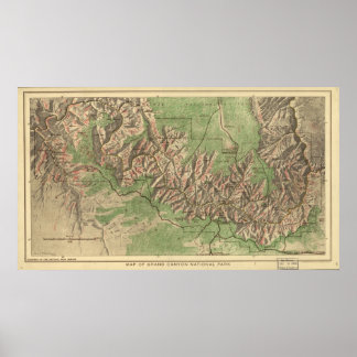
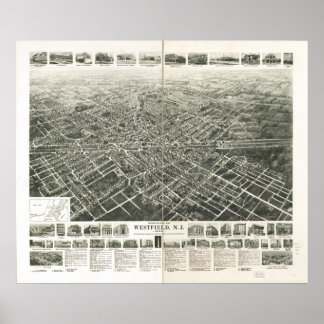
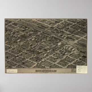
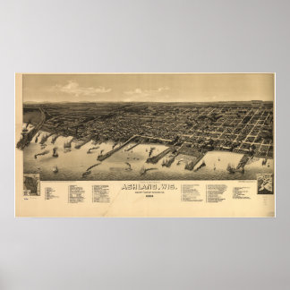
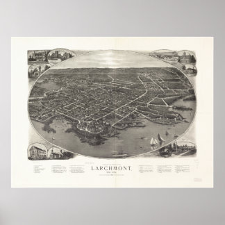
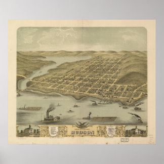
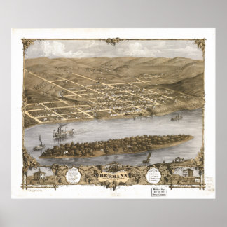
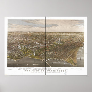
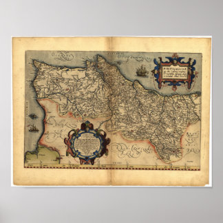
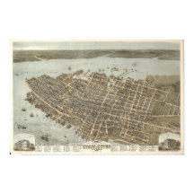
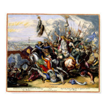
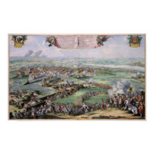
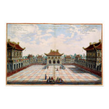
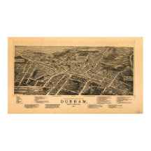
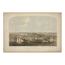
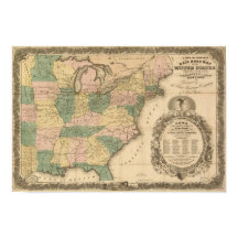
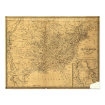
Welcome to Terra Prints - Classic, America's finest selection of antique maps, held in original form by the U.S. Library of Congress, digitized via state of the art, high resolution flatbed scanners and reproduced here using the finest archival inks and paper available.
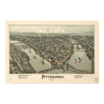
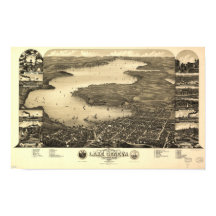
Our selection includes: Ancient World Maps; Panoramic "Bird's eye view" American and Canadian City Maps; Victorian Era Map Illustrations and Murals; All Terra Prints - Classic products are available in sizes ranging from portfolio prints, perfect for executive gifts and office walls, to colossal murals suitable for large lobbies, foyers and museum exhibits.
Additionally, you can choose from an endless array of custom framing and printing material options.
Tout voir
Catégories
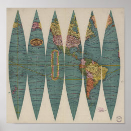
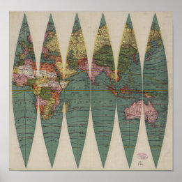
Voir toutes les catégoriesBest Selling Antique World Maps
Voir toutes les caractéristiques de la collection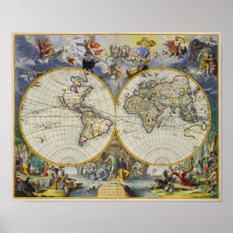
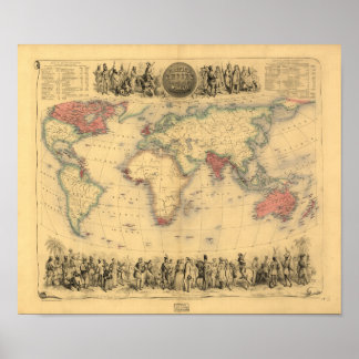
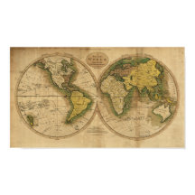
Poster Carte antique du monde - 1795
Prix29,85 €
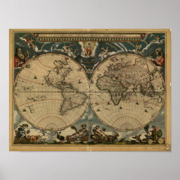
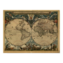
Poster Ancienne carte du monde - 1664
Prix30,50 €

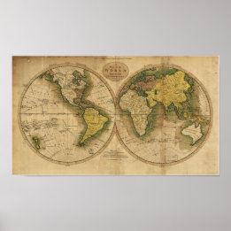
Poster Carte antique du monde en 1565
Prix31,90 €

Collections
Voir toutes les collections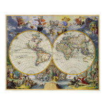
Best Selling Antique World Maps
8 articles
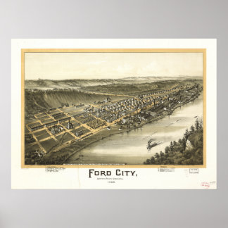
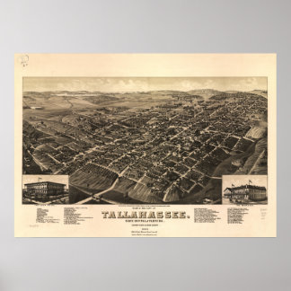
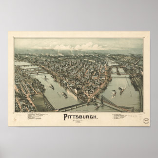
Best Selling Panoramas
18 articles
Victorian Illustrations
4 articles
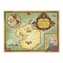
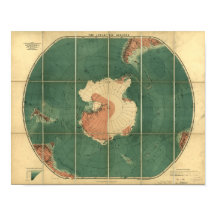
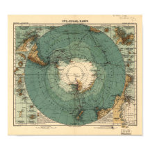
Antique Maps of Antarctica
5 articles
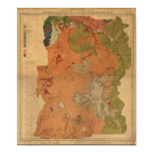
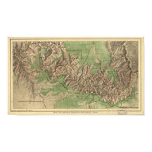
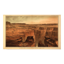
Antique National Park Maps
8 articles
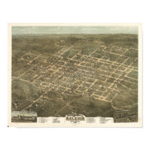
Best of North Carolina
5 articles
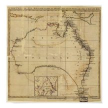
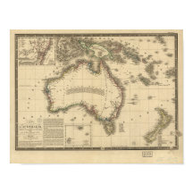

Antique Australia Maps
3 articles

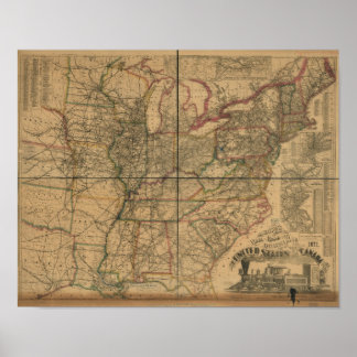
Favorite Railroad Maps
4 articles
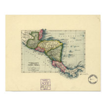
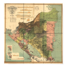

Central American Maps
2 articles